Day 16 - September 29, 2012: The run on down to the Ohio River turnoff
This would be our longest day so far as we had to go 100 miles to get to the Ohio anchorage at Angelo's Toe Head. On the way we passed Tower Rock. This rock is an unusual landmark of great size not to be missed. It was noted by Jolliet and Marquette in their journals as they explored the Mississippi in 1673.
 |
| Tower Rock Landmark |
As we approached the Ohio River the Mississippi actually goes north around a loop and then back south where they join together. This is a chart plotter image of the intersection. This is a staging point for tows north and south bound on both rivers. Each of the pointed arrow heads (no tails) represent a tow. There are seventeen in this shot and I noted 25 at one point! This means you have to pay attention at all times or else...
 |
| Major Tow traffic approaching the junction with the Ohio River |
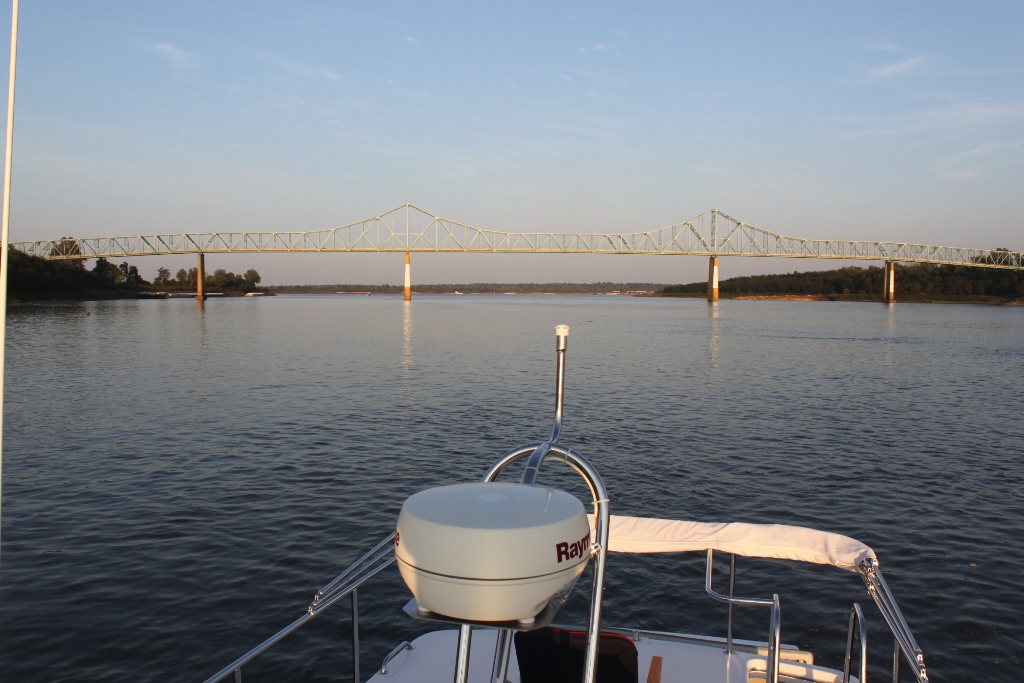
You can see this junction just past the bridge below. Here we are at anchor at Angelo's Toe Head just safely out of the channel. Missouri is on the right, Illinois on the left, and Kentucky in the distance.
 |
| Junction of the Ohio River just beyond the bridge |
 |
I just can't resist showing these...
|


Larry, Do you think the Tower Rock Landmark is more submerged normally? The water looks awfully low. I love your posts--you are an excellent writer and the adventure has just the right amount of "personal" and "informative". Keep 'em coming!
ReplyDelete